Map Drive - Radar, Speedometer
AI GPS Navigation, Live Earth Radar & HUD Speedometer. Real-time GPS routing, satellite maps, speed camera and radar alerts, a HUD speedometer, live earth cameras, and nearby places - a complete digital cockpit assistant for safer and smarter driving.
Download on Google Play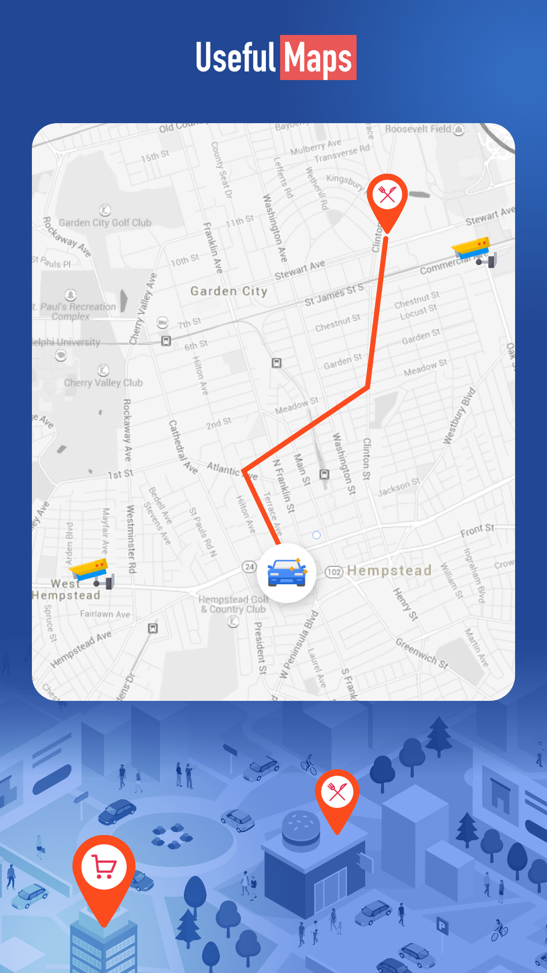
Your Complete Digital Cockpit Assistant
Map Drive is an all-in-one automotive navigation, driver assistance, and travel utility platform engineered for motorists, commuters, commercial drivers, and road trip enthusiasts. Combining real-time GPS routing, satellite map imagery, speed camera and radar detection, vehicle diagnostic tools, and live environmental tracking, the platform serves as a complete digital cockpit assistant for safer and smarter driving.
Core Features & Smart Driving Modules
Turn-by-Turn GPS Navigation & Satellite View
High-definition 3D satellite imagery, turn-by-turn voice guidance, real-time traffic alert updates, and intelligent route planning for seamless travel.
Radar Detector & Head-Up Display (HUD)
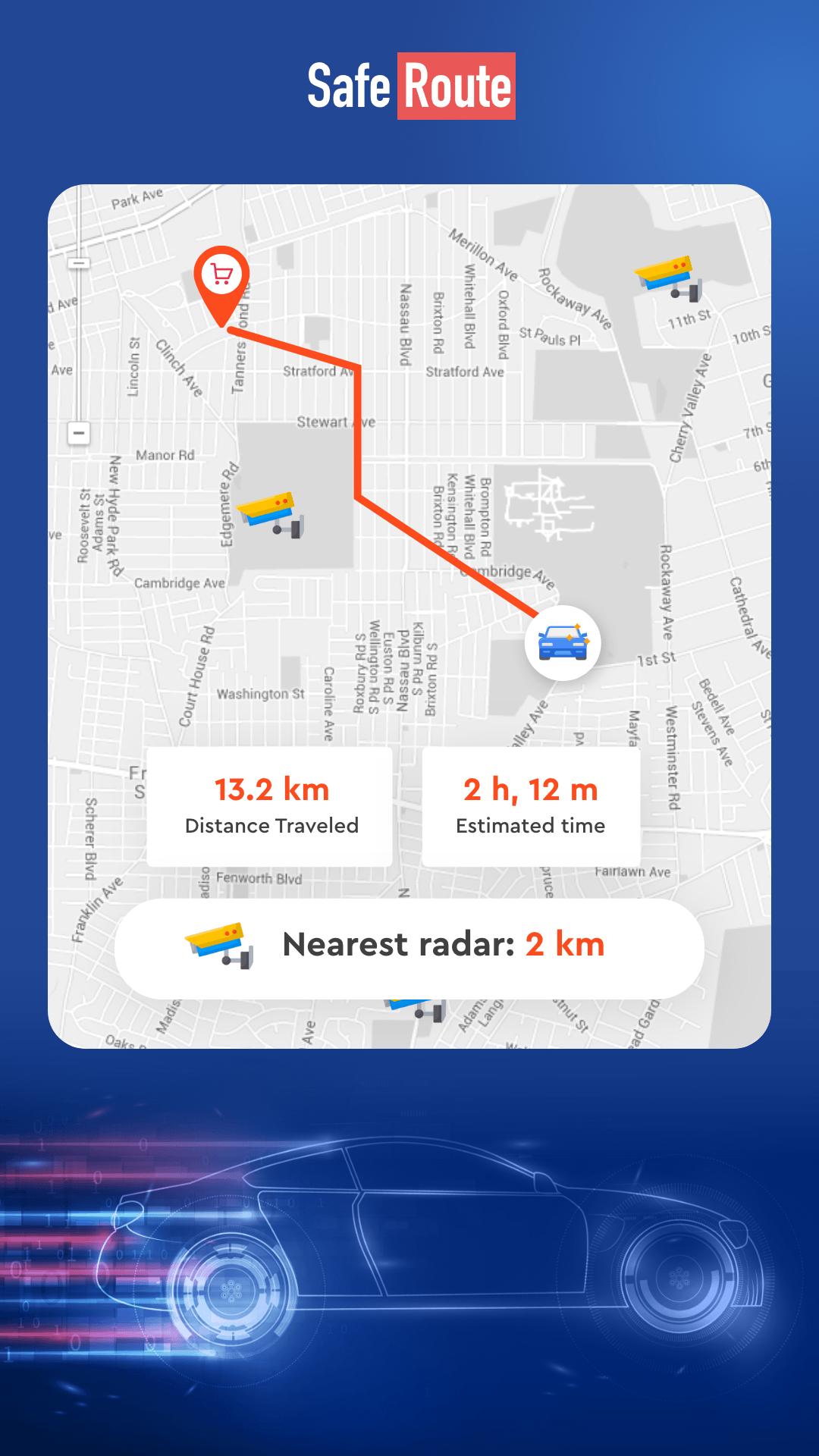
Real-time speed camera warnings, radar detection alerts, speed limit notifications, and night-vision HUD mode projected directly onto your windshield.
Digital Speedometer & Fuel Calculator
High-precision GPS speedometer with over-speed alerts, trip distance tracking, and smart fuel cost estimation for route optimization and mileage logging.
AI Driving Instructor & Cockpit Telemetry
Professional driver tips, safe driving habits coaching, highway code guidance, and vehicle cockpit instrument guides.
Earth Live Camera & Global Location Finder
Live streaming webcams from around the world, instant location finder, exact GPS coordinates sharing, and offline map accessibility.
Nearby Places, Weather & Compass
One-tap discovery for nearby gas stations, EV chargers, parking lots, and auto repair shops, integrated with live weather forecasts and a digital compass.